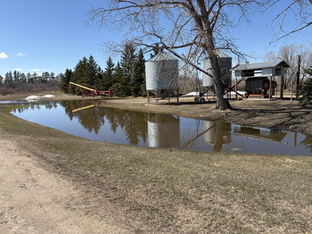
While some areas continue to deal with rising water, Arborfield appears to have escaped the worst-case scenario thanks to quick action from residents and town crews. (Image Credit: Ben Tompkins/northeastNOW)
Close call
Volunteers help Arborfield escape worst of northeast flooding
May 7, 2026 | 12:31 PM
-
Share on Facebook
-
Share on Bluesky
-
Share on X
- Copy Link
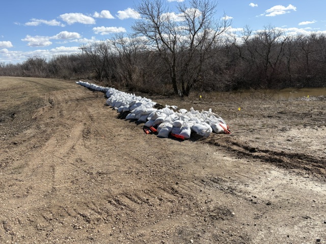
The Town of Arborfield narrowly avoided what officials say could have been a catastrophic flood over the weekend, as fast-rising water levels pushed local infrastructure to the brink.
Communities across northeast Saskatchewan have spent the past several days battling swollen rivers, washed-out roads and overland flooding caused by rapid snowmelt and runoff from the Pasquia Hills.
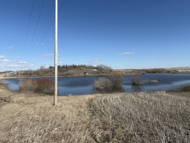
Water levels just west of the Town of Arborfield (Image Credit: Ben Tompkins/northeastNOW)
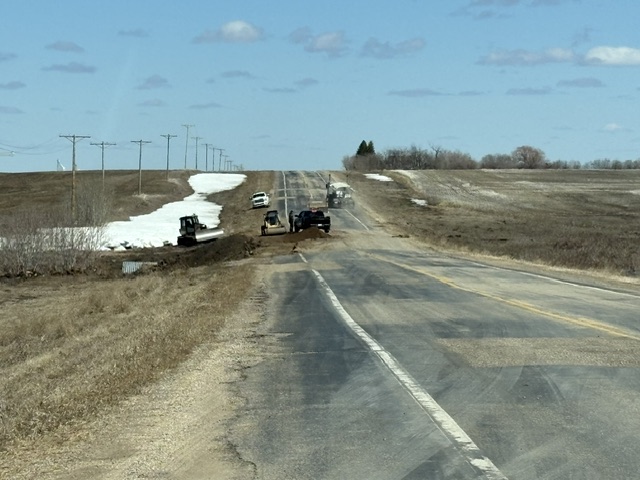
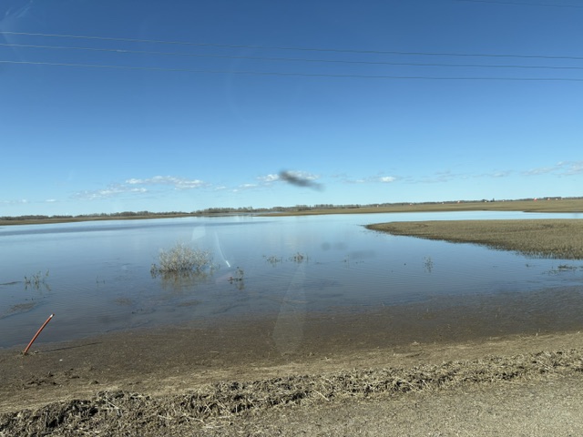
Closed portion of Highway 335 just a kilometre west of Armley. (Image Credit: Ben Tompkins/northeastNOW)