Sign up for the paNOW newsletter

UPDATE: Extra 20-40 mm of rain expected today for east-central Sask.

Sep 25, 2013 | 2:07 PM

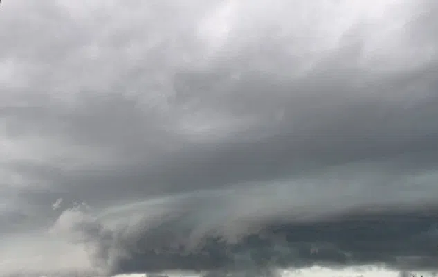
Environment Canada has continued a rainfall warning into Thursday for Melfort, Tisdale, Nipawin, Carrot River, Hudson Bay, Porcupine Plain, Pelican Narrows, Cumberland House and Creighton region.

On Thursday morning it stated these areas can expect 20-40 millimetres [mm] of rain in addition to what they already received.

Warning preparedness meteorologist John Paul Cragg said on Wednesday, in total, those areas can expect 50 to 70 mm of rain accompanied by high winds tapering off Thursday night into Friday morning.

“[Thursday] we have a stronger low passing through and that’s going to add to the precipitation and that’s going to bring those warning amounts to 50 to 70 millimetres in that Hudson Bay and Melfort area,” he said.

With this active weather Cragg said those communities could see flooding because the ground can’t absorb the water fast enough. However, that’s not the only concern.

“There’s going to be strong winds, so Thursday the second low that’s passing through is going to deepen quite a bit and we could see some winds as strong as 40 [kilometres/hour] gusting 60 in some areas and as strong as 50 gusting 70 with this system,” he said.

The storm is coming up from the United States of America.

“It’s what’s commonly called a Colorado low … it usually moves through southeastern Saskatchewan or Manitoba and then makes its way to the northeast.”

Although most of the rain will be in the eastern-central part of the province, Prince Albert could still see 20 – 40 mm of rainfall and high winds.

Have pictures or video of active weather in your area? Send them to news@panow.com or tweet us live @princealbertnow.

sstone@panow.com

On Twitter: @sarahstone84