Environment Canada is predicting 10 to 20 cms of snow by Friday night. (Environment Canada/weather.gc.ca)
Weather Advisory
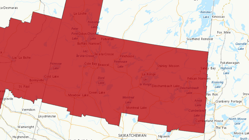
Another blast of winter comes with snowfall warning
Mar 13, 2025 | 8:42 AM
-
Share on Facebook
-
Share on Bluesky
-
Share on X
- Copy Link
Snow is expected to be heavy at times as a system moves into north central Saskatchewan today.
“Technically, this could be a ‘long haul’ kind of storm, and we want people to remember that road conditions can be really different from one place to another,” said Natalie Hasell, a warning preparedness meteorologist with Environment and Climate Change Canada.
The caution is being urged since by the time the snow ends on Friday, 10 to 20 centimetres of snow is expected, and that rapid accumulation can make travel difficult.
The weather service issued snowfall warnings for an area that includes Meadow Lake, Montreal Lake, Cumberland House and all areas in between up to La Loche in northern Saskatchewan.


