Highway 49 between Pelly and Norquay swallowed a pickup truck whole. (Image Credit: Terry Lynn Severight/Facebook)
East Central hardest hit
Heavy rain leaves parts of Sask. dealing with washouts, closures and soggy Canada Day plans
Jun 30, 2026 | 5:31 PM
-
Share on Facebook
-
Share on Bluesky
-
Share on X
- Copy Link
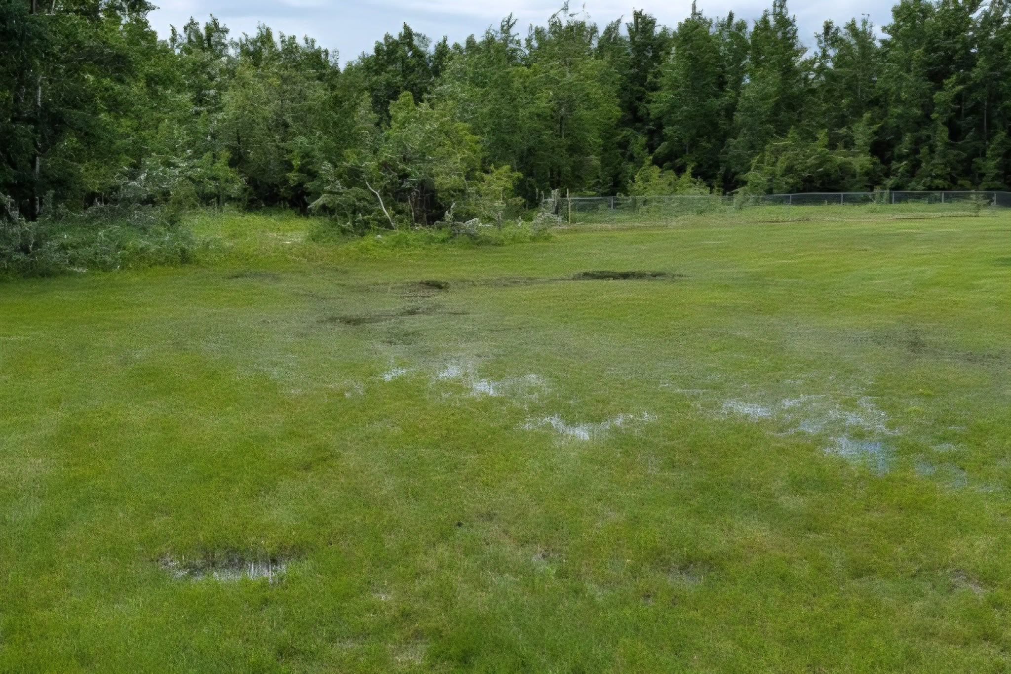
A slow-moving weather system dumped significant rain across parts of Saskatchewan’s parkland and eastern regions over the weekend and into Tuesday, leaving some roads under water, forcing local closures and prompting changes to Canada Day celebrations.
Environment and Climate Change Canada meteorologist Brian Proctor said the rain came from the latest in a sequence of upper lows that drifted across the parkland before stalling over Manitoba.
“It produced some pretty copious amounts of precipitation across the eastern half of Saskatchewan, more than anything else up in the parkland and stretching to Manitoba as well,” Proctor said.
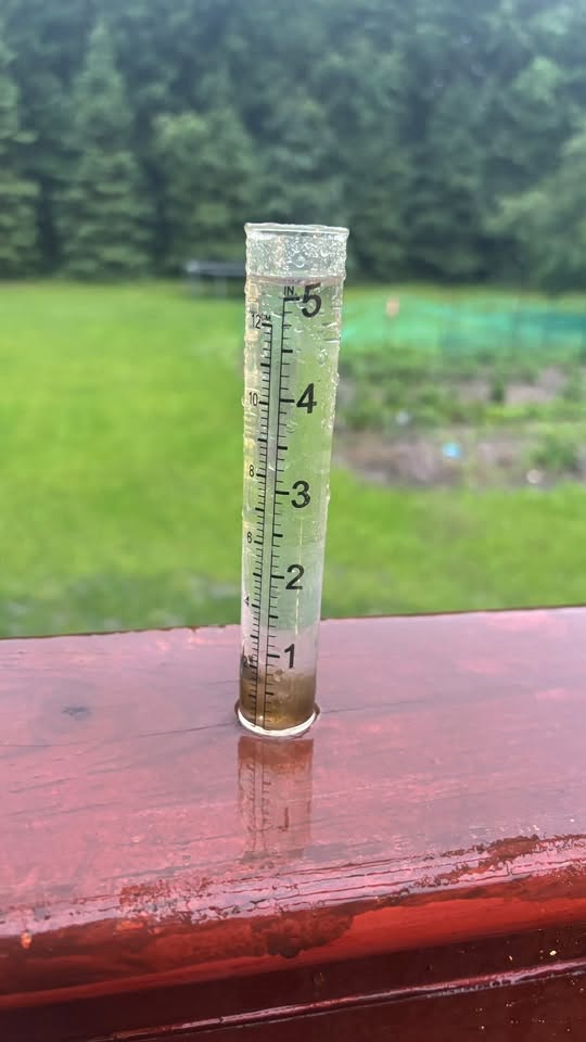
The Kelvington area got five inches of rain starting Monday night and ending this morning and has had 11 inches since the rain began. More is expected. (Image Credit: Facebook/Tracey Cawkwell)