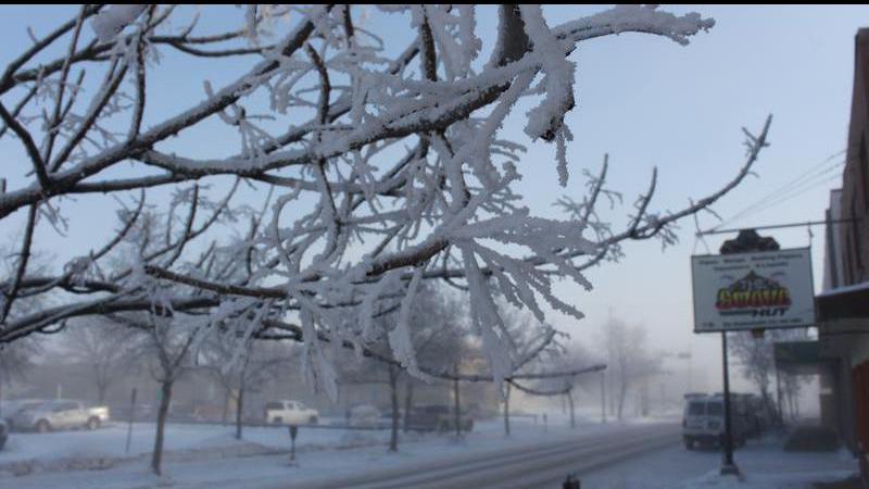
More extreme cold than usual this winter and more on the way
If it feels like this winter has had more extremely cold days than usual, that’s because it has. And according to Environment Canada, we’re not done with those frigid temperatures yet.
The forecast for this week calls for a low of -33 C on Wednesday night, and with the wind chill there’s a good chance things will dip below -40 C again. The first major drop in temperature will come on Tuesday night before Wednesday hits the coldest point of the week.
“We do have another weather system coming through,” said Terri Lang, a regional meteorologist with Environment Canada. “Looks like sort of tomorrow morning, a little bit of snow with that. In behind that, we do get colder temperatures. There will be a push of arctic air. By Thursday morning we’ll be falling into those really cold temperatures, probably below -30 C.”
Once again, the jet stream, which serves as the dividing line between the warmer and colder air, sits practically on top of Saskatchewan. It flows from the northwest to the southeast, and its placement has led to some wacky weather.


