Click here to sign up for our free daily newsletter.
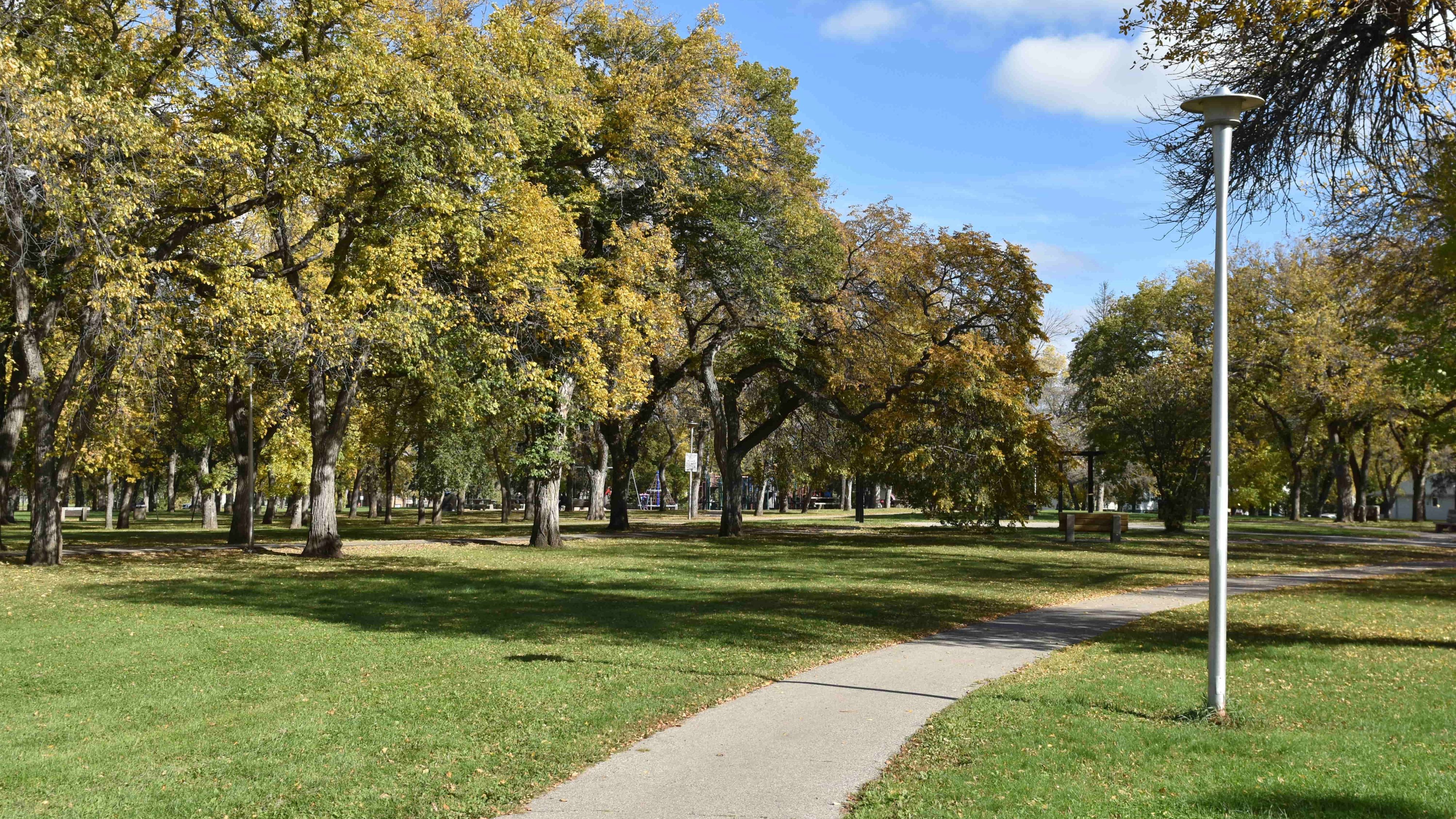
(Image Credit: Logan Lehmann/paNOW)
Cold Front

Enjoy the warmth while it lasts: sharp cooldown coming to central Saskatchewan

Oct 20, 2026 | 4:32 PM

There’s still time to enjoy some mild October weather before a system brings rain, gusty winds, and a sharp drop in temperatures across central Saskatchewan heading into the weekend.

Environment and Climate Change Canada meteorologist Janelle Gergely said a ridge of high pressure will help temperatures peak Wednesday and Thursday before the weather changes Friday.

“On Friday, a low pressure system is going to move through and that’s going to bring rain, gusty winds, followed by a sharp cooldown,” she said.

The change could send daytime highs tumbling more than 15 degrees in some communities between the midweek warmth and Sunday.
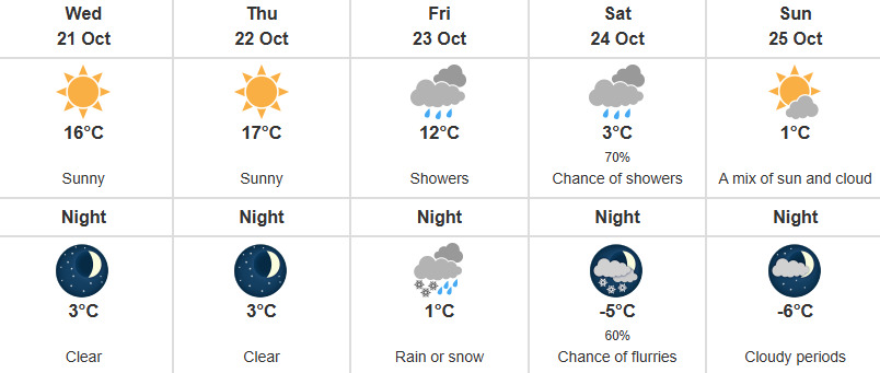
A screenshot of Environment Canada's forecast for Prince Albert the week of Oct. 20.
A screenshot of Environment Canada’s forecast for Prince Albert the week of Oct. 20. (Image Credit: Screenshot/weather.gc.ca)

Environment Canada’s forecasts show Prince Albert reaching 16 C Wednesday and 17 C Thursday before dropping to 3 C Saturday and 1 C Sunday. Showers are forecast Friday, followed by rain or snow Friday night.

North Battleford is expected to reach 19 C Wednesday before cooling to 15 C Thursday, 2 C Saturday and 1 C Sunday. Rain Friday could turn to rain or snow overnight, with windy conditions continuing Saturday.

Melfort could reach 20 C Thursday, but the forecast high falls to 6 C Saturday and 3 C Sunday. Rain and wind are expected Friday night and Saturday, with a chance of rain showers or flurries Saturday night.

Farther north, La Ronge’s forecast calls for 14 C Wednesday and 13 C Thursday before temperatures fall to 4 C Saturday and a high of –1 C Sunday. Rain Friday night could give way to rain or snow Saturday, followed by snow Saturday night.

Gergely said uncertainty remained about where the heaviest precipitation would fall, but northern communities were more likely to receive greater amounts and see snow.

The cooler conditions could also linger beyond the weekend.

“We’re in more of an unsettled pattern and in a cooler air mass for the next 10 days or so,” she said.

Gergely said normal daytime highs across much of central Saskatchewan range from about 5 C to 8 C at this time of year. While the coming temperatures will dip below normal, she said those fluctuations are typical of fall.

Wind accompanying the system Friday and Saturday will add to the chill, although lighter winds are expected as high pressure moves in early next week.

The cooldown also serves as a reminder that El Niño does not mean Saskatchewan will escape cold weather.

Gergely said El Niño can influence broader weather patterns and favour milder conditions across parts of Western Canada, with its strongest influence expected heading into December. Individual weather systems can still deliver sharp temperature drops.

“So even with the El Niño, we can still see significant cooldowns and winter weather,” she said.

For now, residents have a few more mild days to enjoy before the colder air arrives.

—

panews@pattisonmedia.com