Sign up for the paNOW newsletter

The Tragedy of La Colle Falls – a History

Jun 14, 2011 | 11:43 AM

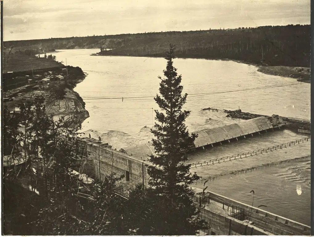
The La Colle Falls story is one that is, or should be familiar to those who live in the Prince Albert area. The doomed hydroelectric dam was scrapped in 1914 leaving a debt that would be a burden to the city until 1965.

However, during the time from 1910-1914, Prince Albert experienced a boom feeding off of the euphoric optimism and speculation that came with the ambitious project.

Nothing better represents this period of development than the city survey map of 1912, which reflects the future plans for the city.

The city shown on the map is much larger than the city limits of 1994. Due to the speculation of land development the number of real estate brokers increased from 10 in 1908 to 56 in 1913.

The Little Red River Park, today a popular destination for outdoor activity, is shown to be a large residential subdivision as well as the area west of Saskatchewan Penitentiary. The Victoria Hospital sits on land that would have been near the physical center of the planned city. Suburbs including Central Park and The Bronx lie on the edges of the thriving community; sharing their names with New York City. All of this based on a dam that according to the plans should have transformed Prince Albert into a major industrial center, “The White Coal City” of the West.

Today as we are all too aware, the map is nothing more than an artefact from a bygone era. It is a symbol of the tragic story that had a huge impact on this community.

The dam itself sits east of Prince Albert 45 km downstream half complete with a lock that has never seen a boat. It is possible to visit if you have a good vehicle and a willingness to walk to the site. A first hand view may help to understand what the people of Prince Albert hoped for as the dam was being constructed.