MAP: Sask. photo radar project delayed
The Saskatchewan Government is a little behind schedule on launching its photo radar pilot program.
The province was hoping to have all eight cameras installed and operational by mid-October. However, SGI admitted Friday that not all locations will be up and running by month’s end. The crown is hoping to have at least one location ready to go, at Highway 1 and 9th Avenue in Moose Jaw. SGI said the other cameras won’t be too far behind in their set up.
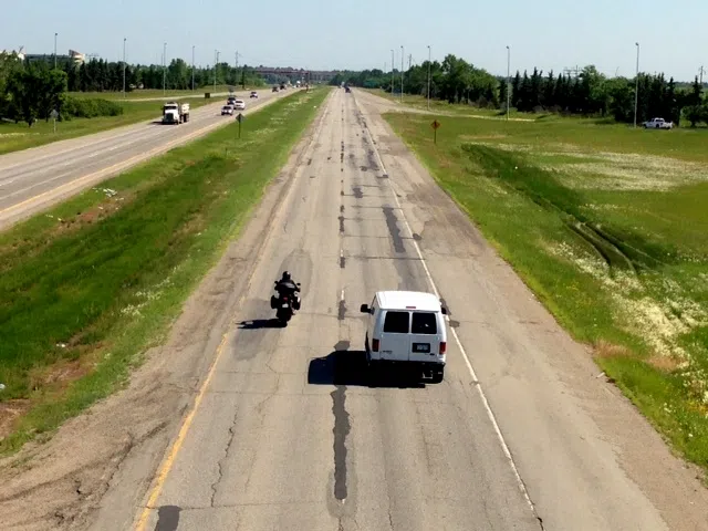
Other camera locations include Ring Road in Regina, Circle Drive in Saskatoon, Highway 12 at Martensville and Highway 1 East between Pilot Butte and White City, along with selected school zones in Regina, Saskatoon and Moose Jaw (scroll down to see map).
Only one school zone camera at a time will be set up in each city. SGI said the locations were chosen by municipalities and police agencies. In Regina, city police Inspector Sheree Ortman is in charge of the traffic safety unit. She explained the reasoning behind choosing the selected zones.


