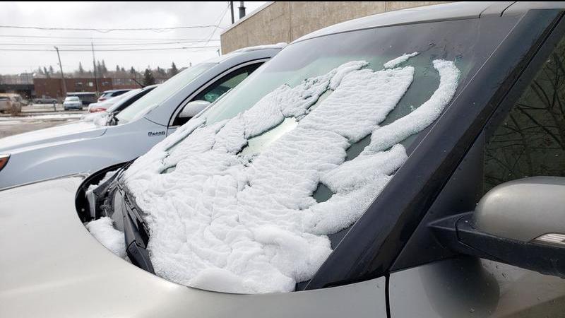
Rising temperatures could start freeze-thaw cycle this week
We’ve got many more months of winter ahead of us in Saskatchewan, but the temperatures are going to relent just a little bit this coming week. We might even see some extra sunshine during the shortening daylight hours.
A ridge of high pressure, driven by atmospheric conditions off the coast of British Columbia, is going to drive across the Prince Albert area and much of Western Canada this week, bringing temperatures up over the next four or five days. For several of those days, the daytime high will reach or even pass the freezing mark.
“We get the warming winds, milder temperatures, so we’re certainly running above-average temperatures for the week,” said Environment Canada regional meteorologist Terri Lang. “Average temperatures for this time of year are around – 6 C.”
If milder temperatures are more to your liking, then you’ll enjoy the rest of the work week, but it does come with a downside. According to Lang, temperatures are at the perfect point to set into a freeze-thaw cycle that could leave roads and sidewalks very slick.


