Subscribe to our daily newsletter
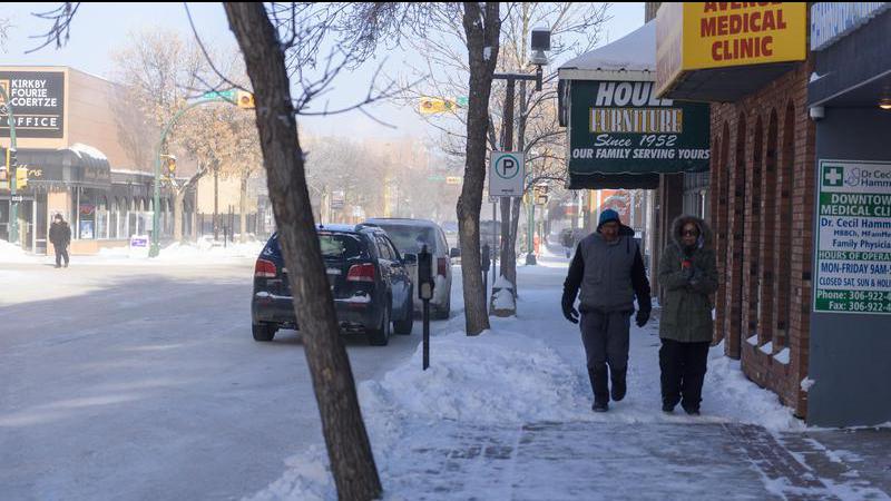
Colder temperatures are on the way, but they won't linger long in Prince Albert this week. (File Photo/paNOW Staff)
Temperature See-Saw

Quick-hitting cold front to give way to warmer weather

Nov 22, 2021 | 11:31 AM

The highs and lows of November weather are all getting crammed into the span of a few days in the Prince Albert area this week. The temperature is going to ping-pong back and forth between the coldest it’s been this winter and the warmest it’s been in weeks.

Starting today, Environment Canada says there will be a low-pressure system moving in from northern Alberta. Areas north of Prince Albert could get some heavy snow, but much of the province will see a sharp drop in temperatures.

“Behind that low pressure system, we have a very cold cold front,” said Sara Hoffman, a meteorologist with Environment Canada. “Tuesday, that cold front will swing through the entire province. Behind it will be cold, arctic air descending right from the North Pole essentially. That will sort of settle in over a period of 24 hours.”

The good news is, that sudden burst of cold air will be swiftly replaced by a far warmer stretch of weather. In fact, for the first time in weeks, the temperature could climb above zero on Friday.

“We have another system developing in the west and sort of pushing through Saskatchewan,” Hoffman said. “Those developing systems in the west will bring a warm front, which will bring warmer air up from the south and moderate temperatures. That will lead to that sort of see-sawing.”

Sudden shifts in temperature are normal for Saskatchewan this time of year (or just about every time of year for that matter) but right now things are especially volatile on that front.

“We’re in a very stormy pattern,” Hoffman said. “We call it a zonal flow aloft. That means that we’ve sort of got this assembly line that goes from west to east with the jet. That means instead of being north or south of Saskatchewan, it’s right through Saskatchewan, so that means a lot of low-pressure systems are going to want to develop and move right through the area, which can lead to lots of snow or yo-yoing of temperatures.”

Hoffman added the heaviest snow will be north of Prince Albert but that doesn’t mean the city will get away completely without it, as there is a chance of snow both today and tomorrow. From there on, the skies will be relatively clear, which will help contribute to the colder weather. The daytime high on Wednesday is expected to be about -15 C.

rob.mahon@pattisonmedia.com

On Twitter: @RobMahonPxP

View Comments