Subscribe to our daily newsletter
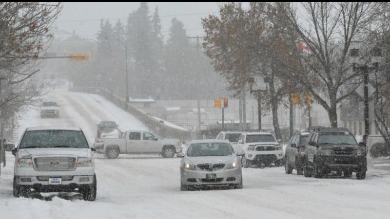
While Prince Albert may see some snow this week, the worst of it is likely bound for the southern part of the province. (File photo/paNOW Staff)
Another Blizzard Here?

Colorado low to hammer parts of province, just missing Prince Albert

Apr 11, 2022 | 12:00 PM

A major storm is on its way to southern Saskatchewan and Manitoba that could deliver yet another deluge of snow. While Prince Albert isn’t directly in the path of the worst of the weather, we will get hit with the very edge of it.

Starting tomorrow night, a Colorado low is on its way through the southern part of the province and Manitoba. Some areas are expecting as much as 80 centimetres of snow, and most will get over 30, so if you’ve got travel plans to those areas, you may want to reconsider.

“Some areas can see over 50 centimetres of snow,” said Sara Hoffman, a regional meteorologist with Environment Canada. “I would expect those to be around the Riding Mountain National Park, near Dauphin, but certainly 35 to 50 centimetres of snow or 50 centimetres plus is not unexpected.”

The good news is, northern and central Saskatchewan aren’t looking at anywhere near that much, though as far east as Hudson Bay you could see about 10 centimetres. The bad news is, temperatures are going to drop and stay down for most of the week.

“You should experience quite a bit of cloud cover because of how large and broad-scale the system will be,” Hoffman said. “You may see the odd few flurries, you might even see trace accumulation, but we’re not expecting anything too measurable to shake out with this system.”

Wind gusts will also be part of the forecast for the next few days, and temperatures won’t get above zero again before the weekend. In fact, travel a little further south and you’ll actually be able to see that a storm is happening.

“It will be very visible that something is going on to the south of you,” Hoffman said.

The coldest days of the week are just ahead of us, with overnight lows hovering around -12 Celsius for Monday, Tuesday, and Wednesday, with daytime highs around -5 C. For reference, the average daytime high for this time of year is about 8 C.

“On Wednesday, we’ll be 15 C below normal for this time of year,” Hoffman said.

Hoffman added the weather would start to track back toward normal starting next week, though it still wouldn’t quite get to seasonal averages, which are about 10 C. She also said that they don’t have snowfall data for Prince Albert, but anecdotally it has already been an extremely snowy winter.

rob.mahon@pattisonmedia.com

On Twitter: @RobMahonPxP

View Comments