Subscribe to our daily newsletter
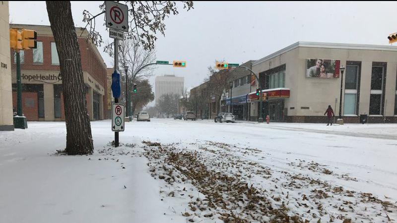
Much of the large deposit of snow Prince Albert just got could be melted away in a few days. (File Photo/paNOW Staff)
Quick Warm Up

From extreme cold to rain: dramatic warm-up in the works

Feb 7, 2022 | 12:00 PM

What’s the old saying? If you don’t like the weather in Saskatchewan, wait five minutes.

While the turnaround hasn’t been quite that quick, temperatures in the Prince Albert area have shifted rapidly in the last three days. On Friday morning, the city was still under an extreme cold warning. By Monday, temperatures were climbing close to the zero-degree mark.

“We’re dealing with a large-scale upper pattern change across the western parts of Canada,” said Sara Hoffman, a meteorologist with Environment Canada. “We have more warm air from the southwest pushing north and east and making its way right to the Prince Albert area.”

The weather and the temperature may fluctuate this week, though not anywhere near back into the extreme cold territory. In fact, over the next couple of days, a large meltdown seems likely.

“There is a strong temperature gradient that exists between areas to the southwest and areas to the northeast,” Hoffman said. “So there is a strong temperature gradient that will sort of meander and move throughout the course of the week and that’s why temperatures will be up and down.”

While warmer weather will be welcomed by many, it does come with one major caveat. Thursday is shaping up to be the warmest day of the week, and on that day it looks increasingly as if Prince Albert will see rain.

“Any time precipitation falls where the surface temperatures are a lot more than zero, we can definitely have rain or rain mixed with snow,” said Hoffman. “We are looking at Prince Albert to be one of those areas kind of right along that temperature gradient highway so if you go a little bit to the northeast, it would be much cooler and if you were to go to the southwest it would be warmer.”

With Prince Albert near the dividing line between the warmer and cooler air, you’d expect jumps in temperature. For the first half of the week, however, we could spend nearly as much time above zero as below.

“You’ll be right near that zero-degree mark for much of the week,” Hoffman said. “Then, on the weekend you’ll be closer to normal. Normal for this time of year is a daytime high of -9 (Celsius).”

Hoffman added that the next week showed no signs of a deep freeze, but it is possible extreme cold weather could return by the end of February or start of March, so people shouldn’t bid farewell to winter just yet.

—-

rob.mahon@pattisonmedia.com

On Twitter: @RobMahonPxP

View Comments