Subscribe to our daily newsletter
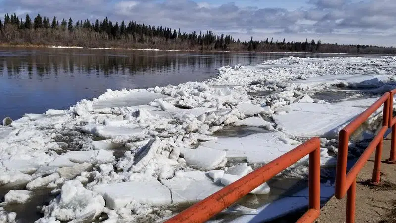
The city has contracted an engineering firm to provide an updated map of the local flood plain. (Charlene Tebbutt/paNOW Staff)
Flood plain

City hires consultant to update flood plain mapping

Apr 11, 2019 | 7:01 AM

The City of Prince Albert has contracted an engineering firm to provide an updated map of the city’s flood plain area ahead of another review of provincial flood plain regulations.

City council has contracted Stantec Engineering to provide updated flood plain mapping for the city at a cost of about $120,000. The city has already been approved to receive $60,000 toward the cost of the mapping from the National Disaster Mitigation Program.

A report from city administration says the city will also look into other sources of funding for the project, including grants. Once the mapping is done, city council will then be asked to formally reconsider a number of policies related to the province’s proposed one-in-500-year flood plain planning.

City council rejected the one-in-500-year policy in 2017, despite government regulations that they be included in the official community plan. The regulations also prohibit future development in the floodway, or the area at risk of flooding.

There are more than 2,000 properties currently within the flood plain, including Ward 4 City Coun. Don Cody’s home near the river. Cody has long argued against the new one-in-500-year regulation, saying the risk of flooding is higher in the West Hill area than near the river.

At Monday’s city council meeting, Cody suggested residents could go boating in other some areas of the city after a heavy rainfall. Cody supports the updated mapping study but questions what will happen next.

“Here’s a case where I think we need to proceed in spite of the fact that it’s pretty costly, because I think we do need to find out where this new mapping is going to go, and probably reduce it from a one-in-500 to something different,” Cody said. “I think the possibility of a flood is pretty near zero.”

Cody agrees with new federal guidelines calling for more mitigation, or ways to lessen the risk of flooding, than disaster relief, adding there are things the city can now do to lower the risk of flooding along the river, such as building a dyke near the sewage treatment plant.

“You’re way better off doing something prior to the accident ever happening to prevent it rather than do something after it’s happened,” he added.

The Stantec study will include state-of-the-art river hydraulics modelling looking at both the North Saskatchewan River and Little Red River, and a flood hazard analysis for various potential flood situations, from a one-in-25-year possibility up to the one-in-500-year number to estimate both water levels and the speed of the water in various situations. The study will also look at possible way to lessen the risk of flooding.

Charlene.tebbutt@jpbg.ca

On Twitter: @CharleneTebbutt

View Comments