Temperatures set to rise to unusual highs
-
Share on Facebook
-
Share on Twitter
- Copy Link
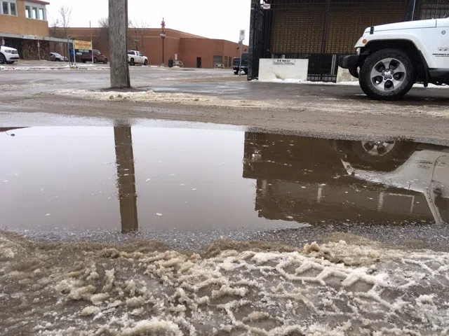
After weeks of very cold weather, the temperature could get close to zero come Wednesday and Thursday. Environment Canada has forecast a midweek rise to a maximum of -1 Celsius, although the earlier threat of rain appears to have subsided.
With local roadways compacted with hard snow, any sudden melt would cause problems and the city is making preparations.
“We will be deploying our sanding trucks throughout the city,” Prince Albert’s operations manager Mohammed Kraishan told paNOW. “We want to ensure we maintain the roadways and prevent slippery conditions as much as possible.”
Although road and sidewalk safety is on the mind of city officials, there does not appear to be any major concern with infrastructure such as pipes and drainage coping with the sudden increase in temperatures.