Sign up for the paNOW newsletter

Weather forecast throws curve balls as extreme wildfire risk continues

May 15, 2018 | 11:44 AM

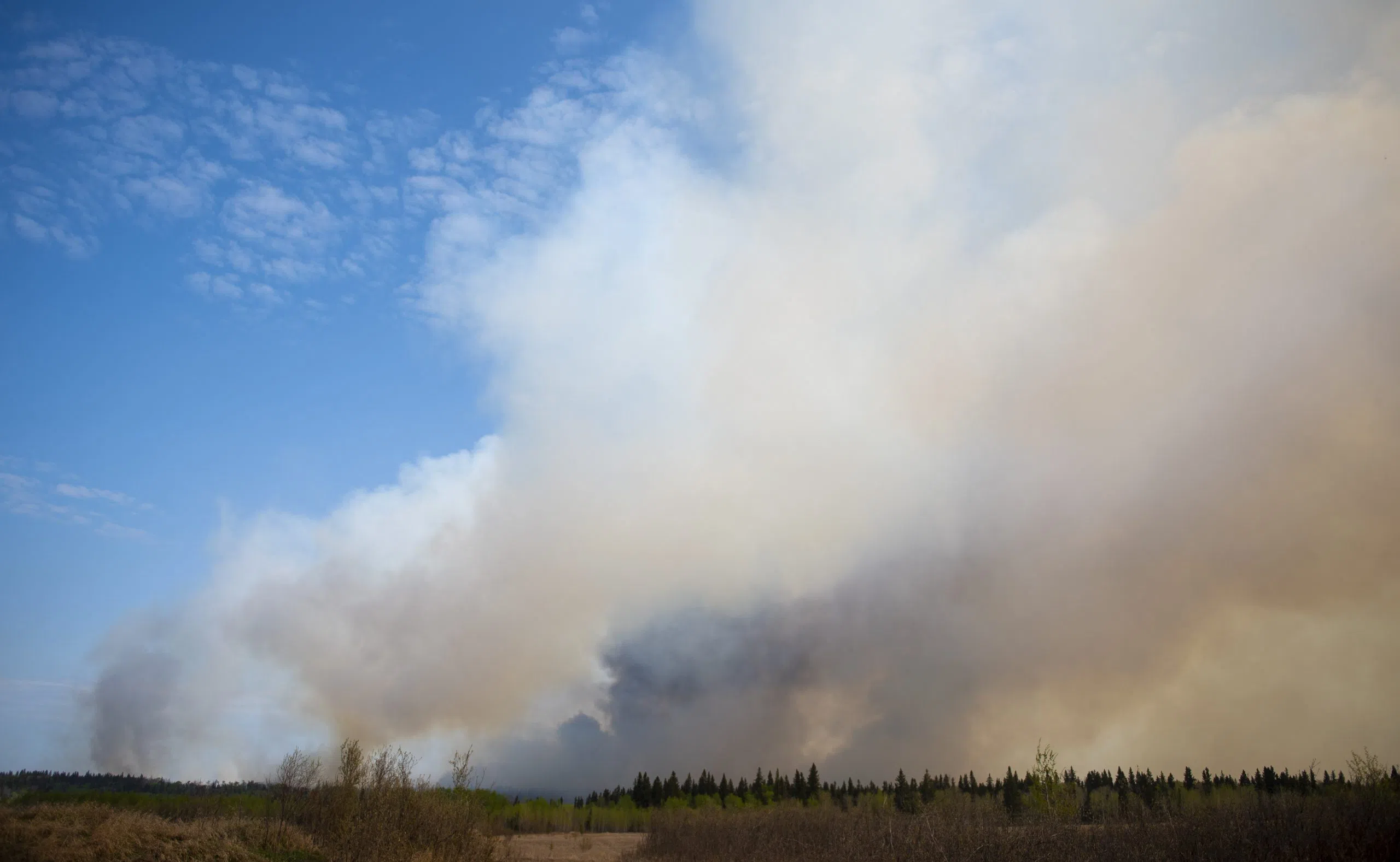
As very dry conditions continue is it not the sort of weather forecast crews tackling local wildfires would have been hoping for. Temperatures were expected to get to 29 Celsius Tuesday. That would be a record high for May 15.

Now there’s an added concern with wind gusts expected to reach up to 50 kilometres an hour and the possibility of lightning.

“An average high for Prince Albert [at this time] is around 18 degrees and an average low is 3 degrees, so it’s definitely well above average,” Jean Paul Cragg with Environment Canada told paNOW. “But what makes it significant is how dry it has been and continues to be in central Saskatchewan.”

And with the tinder dry conditions the forecast posed a further challenge because of the wind factor and lightning.

“The wind will be around 30 kilometres an hour and moves in from the north west with gusts of up to 50 kilometres an hour,” Cragg said. “There is also a risk of a few lightning strikes later in the day and early evening, possibly just to the east of Prince Albert.” 

There is some reprieve to the dry, hot weather starting Wednesday and while Cragg said we could see up to 10 millimetres Thursday there’s no guarantee of that.

“You will be seeing some drops of rain definitely but that five to ten millimetres is not 100 per cent.”

The longer-term scenario is not looking good either with Thursday’s rainfall likely to be a rare shimmer of moisture in this unusually dry run.

“When the rain finishes up Friday morning we’ll return to mid-20 temperatures by Sunday and the forecast models have been pretty accurate and predict ongoing dry conditions for up to seven days,” Cragg said.


glenn.hicks@jpbg.ca

On Twitter:@princealbertnow