Sign up for the paNOW newsletter

Flood plain meeting a chance to air concerns

Mar 23, 2015 | 6:46 AM

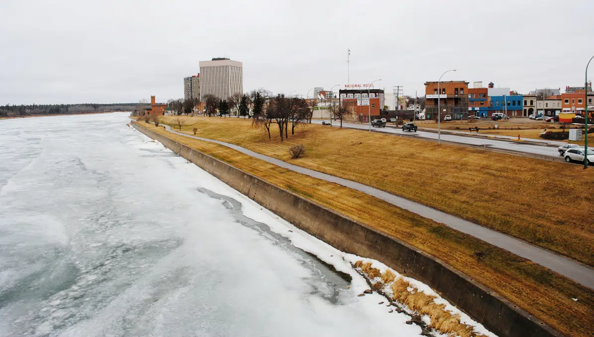
Prince Albert residents living near the North Saskatchewan River face a 10 per cent risk of flooding every 50 years — and the City is looking to address the concerns of those near 2,000 households in a meeting this Thursday.

The information session will centre on the one-in-500 year flood plain – an area most prone to significant over-land flooding from a nearby river or stream because they’re in lower-lying places of elevation.

Representatives from the City and the provincial ministry of government relations will be on hand to discuss the impact of the flood plain on property owners in the West and East Flats and the Hazeldell area.

Residents have already been voicing their concerns with the City about the flood plain. Those concerns include the effect of the flood zone designation on their property values, development, re-sale of properties and building permits for additions.

Planning and development services director John Guenther said they’re looking to deal with these concerns on a lot-by-lot basis. He said, for example, an attached or detached garage would have different parameters apply to it than a full residential development.

“There will be options hopefully that are outlined for people to still enjoy their property and still do development on a somewhat restricted scale within the flood plain within non-inhabitable areas like garages,” he said. Renovations within a property would not be affected, as long as that construction doesn’t expand the building’s footprint.

The discussions are meant to be a chance for residents to air concerns and have their questions answered. For the City, it’s a chance to get the province to answer its questions as well.

Ralph Leibel, the executive director for the community planning branch of the ministry of government relations, who will be attending the meeting in Prince Albert, said they’re working with the City on the draft policy. He said the policies are flexible to accommodate the existing development.

He said it’s critical that flood protection measures are considered when development permits are applied for, since one of the most important investments a person can make is in their home.

“And we’ve seen so many pictures over the last number of years where houses have been flooded out, people have been pulling up their pictures, their family heirlooms out of the basement and things of that nature. That’s a cost that’s irreplaceable.”

For residents concerned about the effects of the flood line, Leibel said the zoning bylaw doesn’t affect the impact of flooding.

“The potential for flooding is there, whether the municipality has a zoning bylaw in place or not,” he said. Some home insurance policies may not cover over-land flooding, he added.

That’s where the Provincial Disaster Assistance Program (PDAP) comes in.

The City also wants to discuss getting better data about the flood plain. Guenther said the City believes it needs to go back and re-visit how the one-in-500 year flood plain in Prince Albert was determined and possibly re-develop it. He said the City would work with the province on this.

However, if the one-in-500 year flood line is already established, the City and the province would need to look at mitigation for property already existing in the flood plain. Mitigation measures for the flood-risk area could include armouring the riverbank against erosion or building retaining walls.

“Those are bigger discussions that usually flow after the data’s been re-evaluated.”

Flood plains affect most cities in the world, according to Guenther. He said all of downtown Calgary sits within a flood plain. In the spring of 2013, Calgary was hit by a massive flood.

It’s an important consideration when it comes to riverfront development, which Guenther called a tremendous asset.

“Having development along a river, along a watershed area, is there as far as value is concerned, but it’s also there to protect the habitat. So both of those are fundamental to any long-range plan.”

In Saskatchewan, the province adopted the one-in-500 year flood elevation level in regulations in 2012.  Its application, however, dates back to the 1970s, with the federal government’s Flood Damage Reduction Program which allowed communities to get flood mitigation funding after the 1974 floods.

Leibel described the one-in-500 year flood plain as a tool to determine the potential for flooding. 

He said the standard is a province-wide one, but it’s evaluated based on the river system.

One in 500 means there’s a 10 per cent chance of flooding every 50 years, Leibel said.

“That elevation was used because we’ve seen that be achieved in the floods of 1974 in Lumsden, Moose Jaw, Souris River, so forth,” he said. He said Fishing Lake in 2007 was flooded to the one-in-500 line, and the same happened in Roche Percee in 2011.

Leibel said that while it may be perceived as a significant level, it’s a critical level in Saskatchewan because of the terrain.

The City is looking to tackle the flood plain as part of its Official Community Plan (OCP). The plan is an over-arching framework that will guide the City’s future planning for years to come.

The next step after that would involve city council amending zoning bylaws – reflecting the practical application of a revised flood plain policy.

The department of planning and development services aims to have the OCP approved by city council in July.

It’s also looking to hold another information session about the flood plain on May 7. Residents will also have a chance to discuss the flood plain at the April 30 OCP open house.

The flood plain meeting will be held at the East End Community Hall from 7:00 p.m. to 9:00 p.m.

tjames@jpbg.ca

On Twitter: @thiajames